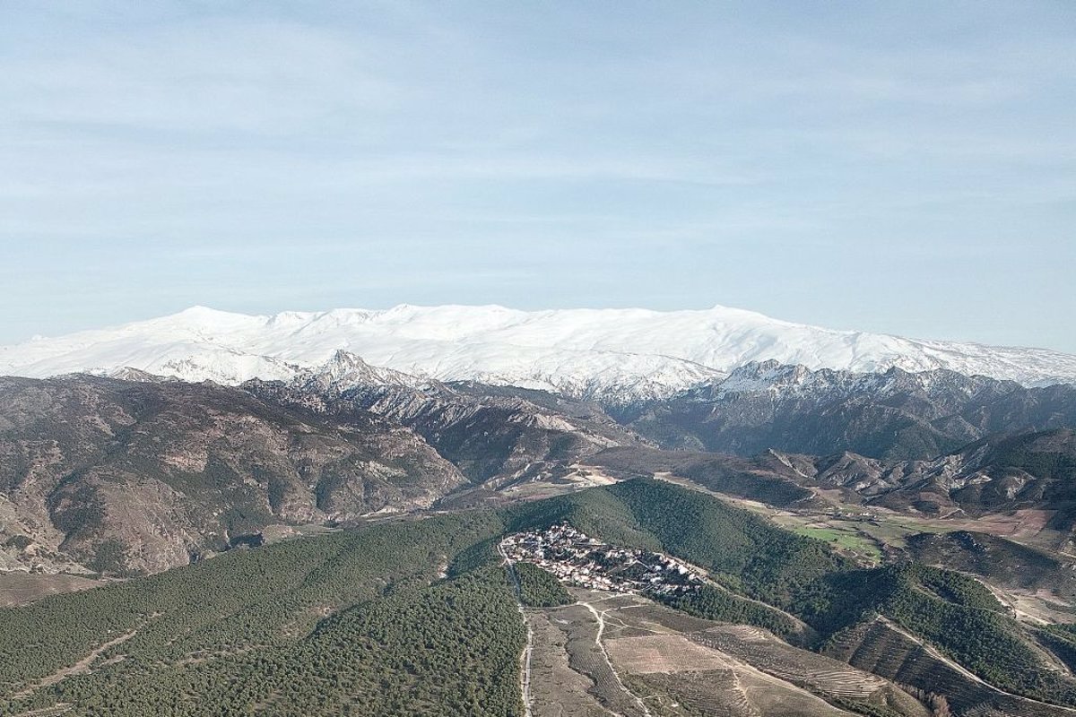
A team from the University of Córdoba (UCO) shows how a system of acequias dating back to the Roman Empire influences the increase in water content in the soil of its neighboring areas in the Sierra Nevada Natural Park, based on satellite images taken over 26 years.
As highlighted by UCO, the park is crossed by over 700 kilometers of channels excavated in the terrain through which water flows: the network of acequias that reached its peak during the Andalusian period. While their most well-known function is to distribute irrigation water, they are also essential for recharging aquifers.
The acequias of Sierra Nevada are a system for sowing and harvesting water: they allow the collection and infiltration of meltwater in the upper elevations (water sowing) and its flourishing later in lower areas (water harvesting) or in the natural springs of the local villages.
In their course, this system alters the soil moisture levels. To assess the extent of their influence, researchers Javier Aparicio, Rafael Pimentel, and María José Polo from the Fluvial Dynamics and Hydrology group, along with Francisco Bonet from Terrestrial Ecology at the University of Córdoba, used vegetation vigor as an indicator of soil water content in an area of over 200 meters around the acequias.
Through satellite images from the period 1984-2020, some of which were processed within the Ecopotential project, they analyzed the vigor of the surrounding vegetation using the Normalized Difference Vegetation Index (NDVI), an indicator that assesses the health and density of vegetation from these satellite images.
«To see how far the acequia alters soil moisture transversely,» explains researcher Javier Aparicio, three influence zones were defined around the acequias, without distinguishing between margins due to the similarity in slopes. Zone Al-1 extends up to 50 meters on each side of the canal, Al-2 ranges from 50 to 200 meters, and Al-3 includes areas over 200 meters.
«After the comparative study of the NDVI index in each of the areas with monthly data, it was clear that the values were higher the closer they were to the acequia. Surprisingly, in area 2 (50 to 200 meters), the values were also high, indicating that the effect of the acequias extended beyond the nearest 50 meters,» he asserts.
The study reveals a seasonal pattern in the vegetation vigor data «with a direct relationship between the hydrological dynamics of the basin and how the vegetation functions, which is more pronounced in the area closest to the acequia,» adds researcher Rafael Pimentel.
LA RESTAURACIÓN DE ACEQUIAS FUNCIONA
In addition to this general study including 45 of the acequias in Sierra Nevada — the longest ones, distributed throughout the northern and southern territories — the team carried out a more specific study focused on the Barjas acequia, restored in 2014 by the Memola project of the University of Granada.
In that study, they found that after the restoration, NDVI values increased by 19%, with a greater increase in the lower part of the acequia where the water flow was not adequate before the restoration.
Studying these specific infrastructures in such emblematic locations is rare, which required the team to establish this analysis methodology that is well established for rivers or other larger systems. «The methodology can be extrapolated to other similar traditional systems such as those found in the Atlas of Morocco,» adds Aparicio.
This work highlights the value of these traditional water management systems in remote areas where modernization is challenging, but it is demonstrated that they continue to contribute value to the population and the environment.